Chapter 5 Create Backgound Data
This chapter will describe the process used to calculate background data for input to the Maxent model. Background point data are used to define the habitat available to mussels within the study area.
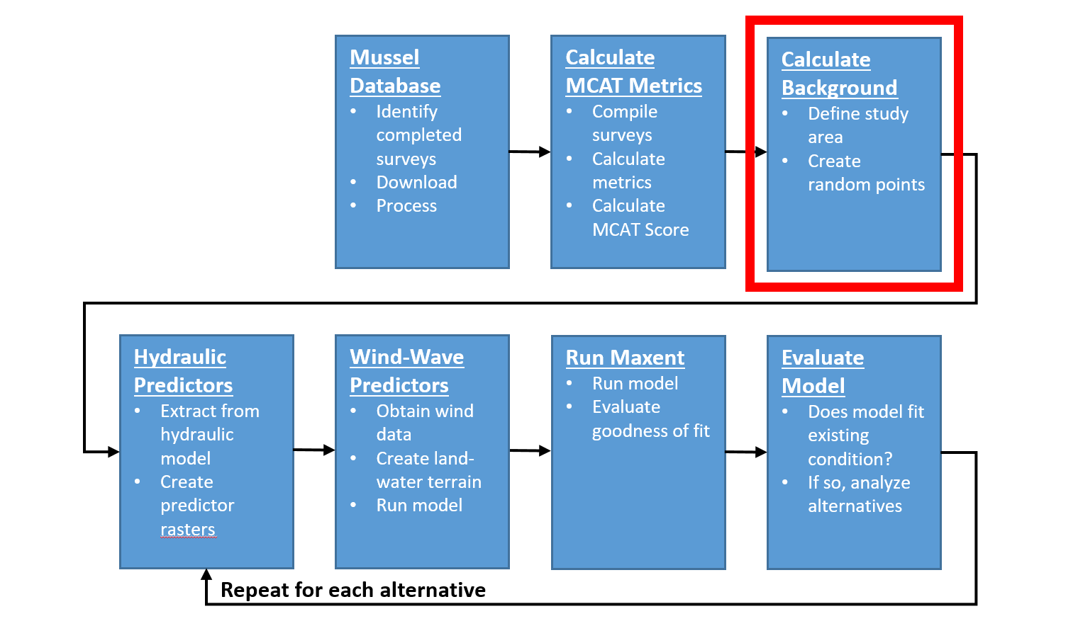
Figure 5.1: HREP Mussel Modeling Workflow, Calculate Background Step.
5.1 Create Background Data
Create a background to constrain points to aquatic areas (more data resolution) and reduce Maxent run times.
Use the Create Random Points (Data Management) tool to create a background restricted to aquatic areas:
- Output location:
\\mvrdfs\EGIS\Work\EMP\HREP_Projects\SteamboatSlough\Mussels\SteamboatMusselModel\Data\SB_Mussels.gdb\ - Output feature class:
background - Constraining feature class:
aquatic_areas_20m - Number of points: 10000
- Minimum allowed distance: 25m
- Leave all others as defaults
- Click OK to run the tool
- Output location:
- In the
backgroundfeature class, add 3 fields, one namedspecies, Type = Text and Length=20; one namedlongitude, Type = Double; and one namedlatitude, Type = Double. - For the
speciesfield use the Field Calculator tool to set the value of the field tospecies= “background”. Use the Calculate Geometry tool to populate the
longitudeandlatitudefields, ensuring that the coordinate system is set toNAD 1983 2011 US FeetandStatePlane Illinois West FIPS 1202and the units are set toUS feet.
5.2 Export to Maxent “SWD” Format
The purpose of this step is to assign the environmental predictor values (AdH hydraulic variables and optionally the wind/wave variables) to each of the background points. The Maxent documentation refers to this format as the “Samples With Data” (SWD) format because it contains the samples (i.e., sample identifier, latitude, longitude) with the environmental predictor variables (e.g., q5_velocity, q5_depth, q5_slope, etc.).
- Ensure all environmental predictor layers have the same spatial reference as the
backgroundfeature class. Use the Extract Multi Values to Points (spatial analyst) tool to write new values (velocity, depth, slope, and ss) onto the
backgroundfeature class.- Input point features:
\\mvrdfs\EGIS\Work\EMP\HREP_Projects\SteamboatSlough\Mussels\SteamboatMusselModel\Data\SB_Mussels.gdb\background - Input rasters:
q5_velocity,q5_depth,q5_ss,q5_froude,q5_reynolds,q5_slope,q95_velocity,q95_depth,q95_ss,q95_froude,q95_reynolds,q95_slope.
- Input point features:
Export the
backgroundfeature class attribute table as a.csvfile. Ensure theObjectIDfield is deleted using Excel prior to use in Maxent.